


Mount Rainier National Park Map Art Print, 1928, Antique Map Archival Reproduction, Historic USGS top Topographic Map, 16x20, Unframed
Archival print reproduction of an antique map of Mount Rainier National Park from 1928 by the U.S. Geological Survey.
MEDIUM: Archival pigment inkjet print
PAPER: 100% cotton, museum quality, acid-free, heavyweight, matte finish
SIZE: 16x20 inches (includes a 1/8 inch white border on each side)
Please note: frame is not included.
ABOUT THIS MAP
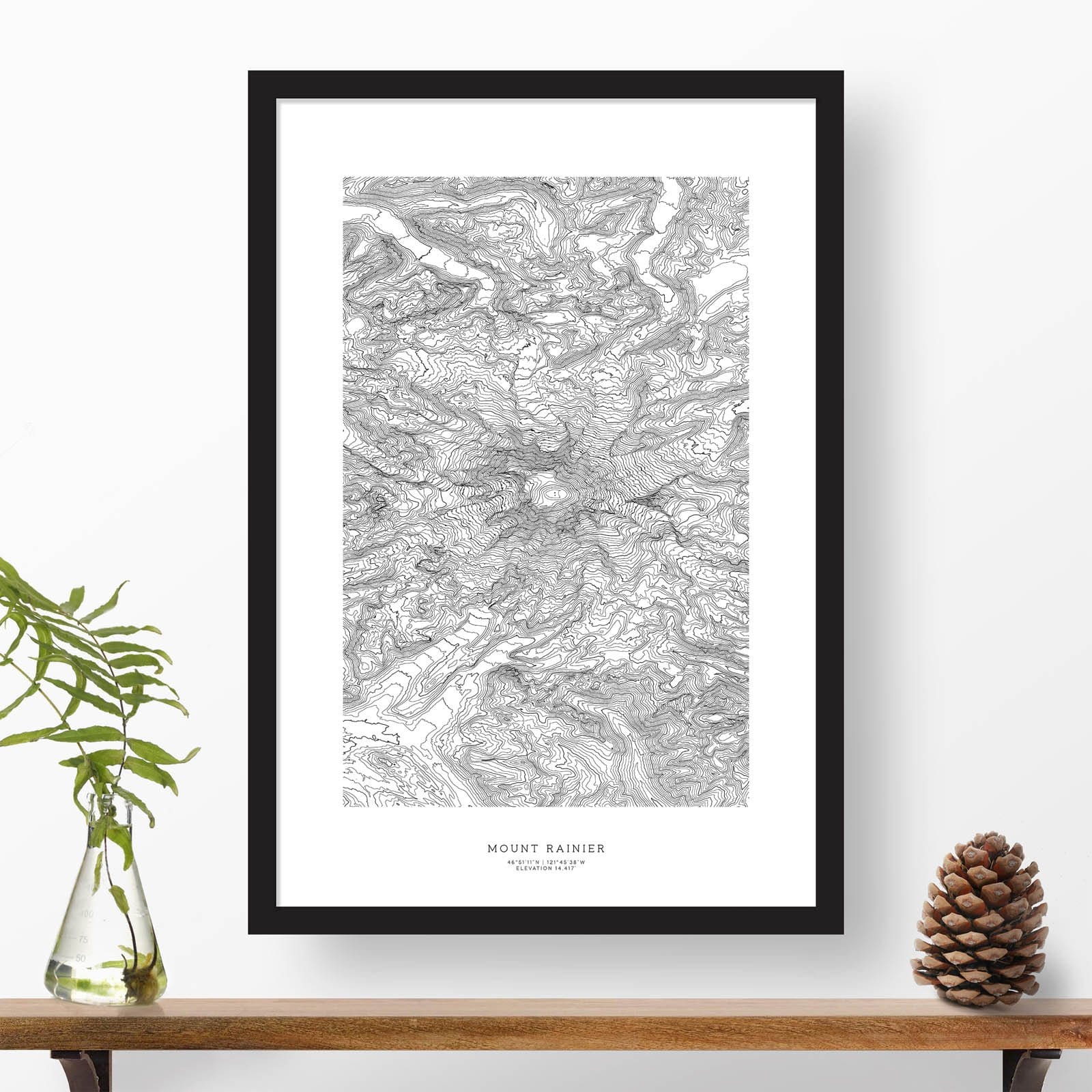
Historic USGS topographic map of Mount Rainier National Park based on the 1939 reprint of the 1928 edition, with additions in red made in 1944. The map covers all of Mount Rainier top National Park as well as the area south of the park including the Cowlitz River valley south to the town of Randle. Shows numerous details, including roads, mountains, lakes, ranger stations, some trails, as well as elevation contour lines. The park boundary is indicated in red.
Browse all NATIONAL PARK maps in our shop:
https://www.etsy.com/sg-en/shop/BlueMonocleMaps?section_id=16928433
Browse ALL prints in our shop:
https://www.etsy.com/shop/BlueMonocleMaps